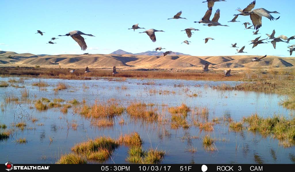
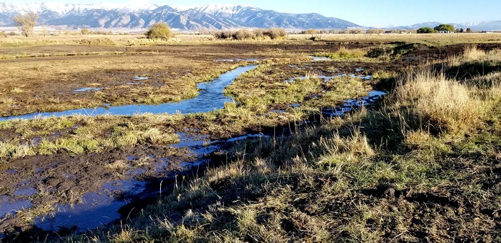
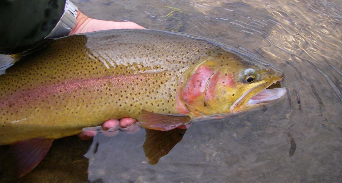
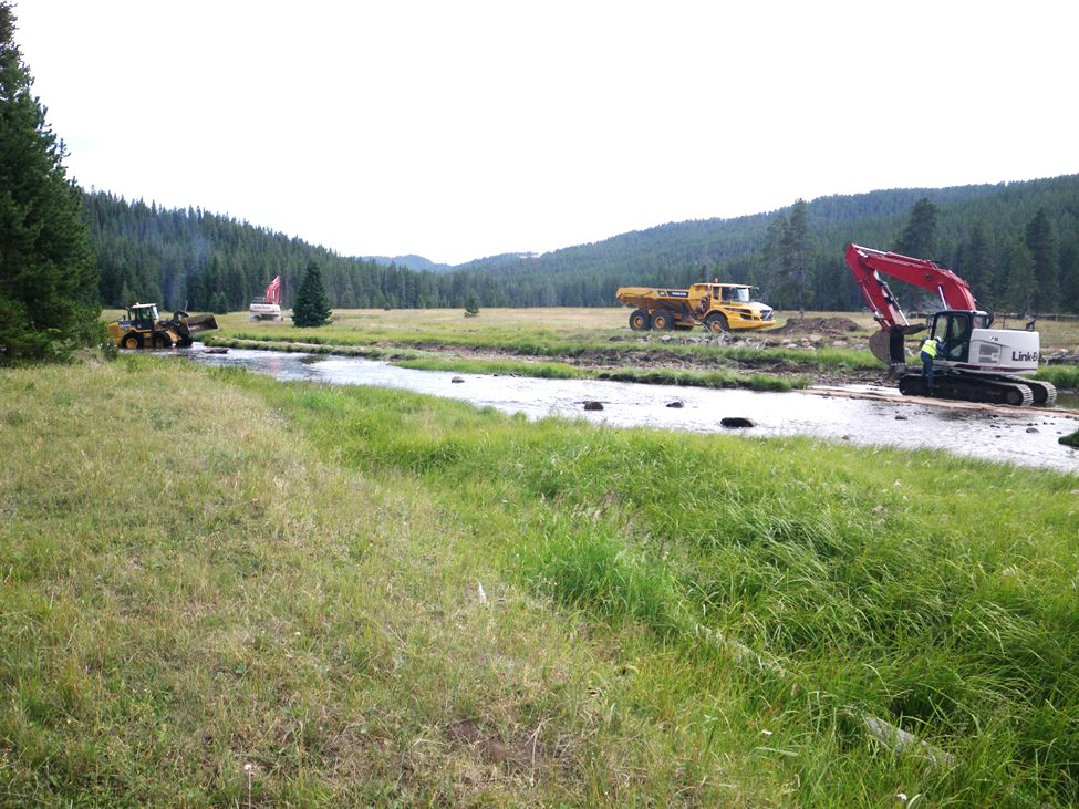
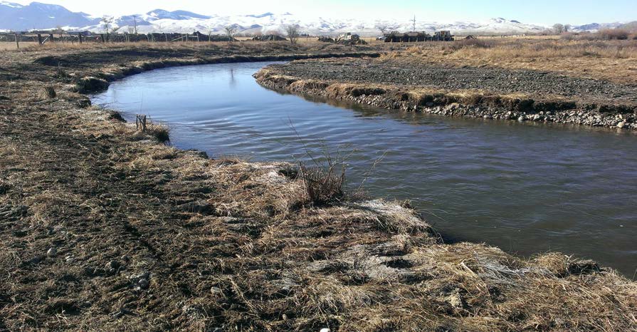
Pinyon is providing environmental compliance and monitoring services for the Colorado River Connectivity Channel Monitoring Project to document hydrologic and ecological function by comparing annual monitoring results to approved performance standards. Our team is implementing a multi-year monitoring program that integrates drone-based LiDAR topography and georeferenced orthophotography with field surveys of channel bathymetry and geomorphology, riparian/wetland/floodplain vegetation establishment, groundwater elevations (via deployed data loggers), and in-channel depth and velocity measurements to evaluate fish passage and overall channel performance. We are applying established protocols and tools (including the Colorado Stream Quantification Tool) to analyze and document performance metrics and producing associated mapping and GIS deliverables.
Pinyon is also managing reporting and coordination requirements by preparing annual deliverables that support federal mitigation and partner objectives, including an annual monitoring report for the U.S. Army Corps of Engineers and a complementary annual report for project partners that incorporates additional monitoring information and adaptive management considerations. We are supporting project implementation through routine communication, budget and progress tracking, and recurring coordination with the Enterprise, partners, and agency representatives, while maintaining project records and spatial data needed to meet ongoing compliance and monitoring commitments.