Early project planning for data management is a crucial component of a successful project.
This is why we focus on the “end-point decision” during the project development stage. This helps our clients facilitate the flow of information and data management.
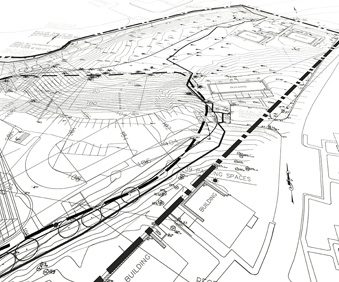
Pinyon uses the latest versions of mapping, modeling, and database software to collect and display information:
• Esri ArcGIS combines data from different sources, creating, and maintaining a database of information. This tool helps our clients display a wide variety of layers in order to create printable, high-quality maps.
• AutoCAD produces detailed 2D drawings and maps containing spatial data, spreadsheets, and database software. This tool helps clients to store and analyze project data. It also helps to evaluate environmental data, and also to identify and test trends.
• MicroStation allows the conversion and usage of various file formats to create high-level 3D drawings and manipulate raster images.